Annual General Meeting
This year’s AGM is being deferred from the original date of Thursday 6 November to Thursday 27 November 2025 at 7.30 p.m. at the Woodcote Community Centre Lion’s Den. Agenda
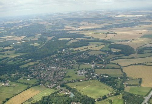
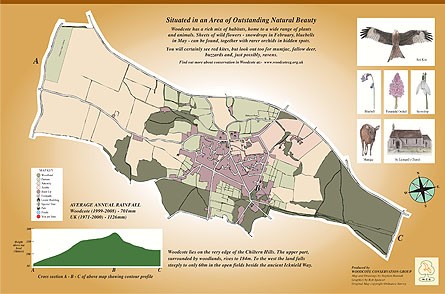
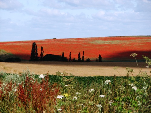
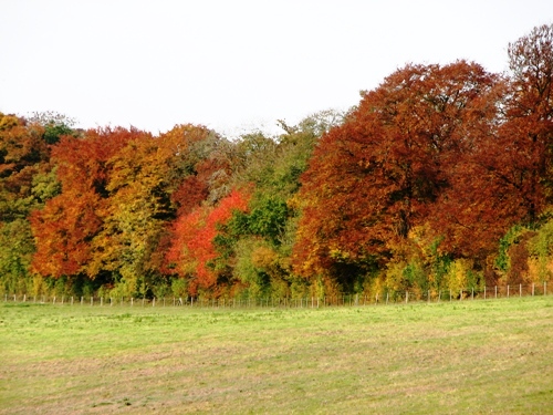
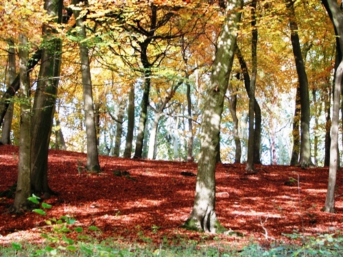
Our village lies some 170 metres above sea-level at the south-western end of the Chiltern Hills, four miles from the point where the River Thames flows through the Goring Gap. Situated in the Chilterns National Landscape (formerly known as an Area of Outstanding Natural Beauty), it is surrounded by beechwoods and the farmland that drops down towards the river valley.
The Woodcote Conservation Group is involved in maintaining and protecting natural green spaces in our village, and in promoting awareness and appreciation of our local plants, wildlife and habitats. We organise regular working-parties and natural history walks, help out with national and local surveys, and hold public talks on topics of local environmental interest.
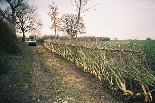
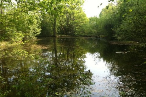
New members are always welcome: whether you want to get involved in pond maintenance, try your hand at some hedgelaying, take part in one of our natural history surveys, or simply show your support for our activities, do join us!

